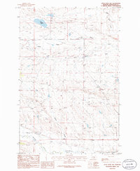
1986 Map of Little Bear Lake
USGS Topo · Published 1986About this map
Old Railroad Grade segments cut across the southern landscape of Petroleum County, tracing the path of former rail operations in this section of central Montana. The terrain is defined by a network of drainage systems, notably McDonald Creek and Buffalo Creek, which carve through the plains. The presence of an Old Railroad Grade and a Gravel Pit near Whites Coulee suggests the industrial and transport history of this remote area during the mid-to-late 20th century.
Find a feature on this map
13 named features on this map. Tap any name to fly to it.
Don’t see what you’re looking for? This feature index may not catch every label — zoom into the map to look around manually.
Map Details
Editions of this 1986 Little Bear Lake Map
This is the sole edition of this map. No revisions or reprints were ever made.
Other maps of this area

1954 · Roundup
USGS Topo · 1:250,000

1954 · Lewistown
USGS Topo · 1:250,000

1958 · Roundup
USGS Topo · 1:250,000

1959 · Lewistown
USGS Topo · 1:250,000

1986 · Snoose Creek
USGS Topo · 1:24,000

1986 · Wild Horse Lake
USGS Topo · 1:24,000

1986 · Dry Blood Creek West
USGS Topo · 1:24,000

1986 · Winnett North
USGS Topo · 1:24,000

1986 · Dry Blood Creek East
USGS Topo · 1:24,000

1986 · Teigen
USGS Topo · 1:24,000