
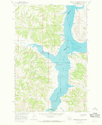
1965 Map of Germaine Coulee West
USGS Topo · Published 1969About this map
The confluence of the Missouri River and the Musselshell River anchors this 1965 survey of Petroleum County, Montana. The landscape is dominated by the rising waters of the Fort Peck Reservoir, which has flooded the deep coulees and river valleys of the high plains. Much of the mapped area falls within the Charles M Russell National Wildlife Range, reflecting a period of significant federal land management and environmental conservation in the Missouri River Basin. The topography reveals a dramatic transition from the tablelands down to the water's edge, where features like Germaine Coulee and Sherman Coulee provide natural drainage into the reservoir system. The map also traces the winding path of Crooked Creek as it approaches the main body of the lake, illustrating the intricate shoreline created by the impoundment of these major western waterways.
Find a feature on this map
10 named features on this map. Tap any name to fly to it.
Don’t see what you’re looking for? This feature index may not catch every label — zoom into the map to look around manually.
Map Details
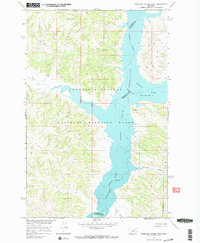
Editions of this 1965 Germaine Coulee West Map
3 editions found
Other maps of this area

1954 · Jordan
USGS Topo · 1:250,000

1954 · Lewistown
USGS Topo · 1:250,000

1956 · Jordan
USGS Topo · 1:250,000

1958 · Jordan
USGS Topo · 1:250,000

1959 · Lewistown
USGS Topo · 1:250,000

1964 · Jordan
USGS Topo · 1:250,000

1965 · Germaine Coulee East
USGS Topo · 1:24,000

1965 · Chain Buttes
USGS Topo · 1:24,000

1965 · Locke Ranch
USGS Topo · 1:24,000
1965 · Mickey Butte
USGS Topo · 1:24,000