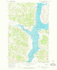
1965 Map of Germaine Coulee West
USGS Topo · Published 1969About this map
The confluence of major Montana waterways takes center stage in this mid-1960s study of Petroleum County and its neighbors. The landscape is dominated by the Fort Peck Reservoir, where the waters of the Missouri River and Musselshell River meet within the protected expanse of the Charles M Russell National Wildlife Range. The map illustrates the complex shoreline of the reservoir, including the intricate inlets created by Crooked Creek and the namesake Germaine Coulee.
Find a feature on this map
9 named features on this map. Tap any name to fly to it.
Don’t see what you’re looking for? This feature index may not catch every label — zoom into the map to look around manually.
Map Details
Editions of this 1965 Germaine Coulee West Map
3 editions found
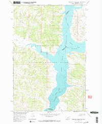
Other maps of this area

1954 · Jordan
USGS Topo · 1:250,000

1954 · Lewistown
USGS Topo · 1:250,000

1956 · Jordan
USGS Topo · 1:250,000

1958 · Jordan
USGS Topo · 1:250,000

1959 · Lewistown
USGS Topo · 1:250,000

1964 · Jordan
USGS Topo · 1:250,000

1965 · Germaine Coulee East
USGS Topo · 1:24,000

1965 · Germaine Coulee West
USGS Topo · 1:24,000

1965 · Chain Buttes
USGS Topo · 1:24,000

1965 · Locke Ranch
USGS Topo · 1:24,000