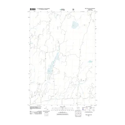
2011 Map of Pike Lake SW
USGS Topo · Published 2011About this map
Wilson Flowage dominates the central landscape of this northern Wisconsin territory, illustrating a hydrology shaped by both natural watercourses and man-made impoundments. The network of drainage is anchored by the Elk River, which receives flow from numerous named tributaries including Popple Creek, Spring Creek, and Riley Creek. This 2011 survey reflects the modern management of these timberlands, where access is dictated by a grid of specialized routes such as Riley Lake Rd, Hemlock Rd, and Sheep Ranch Rd. The presence of Schmuland Flowage and Riley Lake alongside smaller basins like Mud Lake highlights the saturated character of the Price County terrain, which remains largely dedicated to forestry and watershed protection rather than dense residential development.
Find a feature on this map
22 named features on this map. Tap any name to fly to it.
Don’t see what you’re looking for? This feature index may not catch every label — zoom into the map to look around manually.
Map Details
Editions of this 2011 Pike Lake SW Map
This is the sole edition of this map. No revisions or reprints were ever made.
Other maps of this area

1941 · Park Falls
USGS Topo · 1:48,000

1941 · Pike Lake
USGS Topo · 1:48,000

1941 · Phillips
USGS Topo · 1:48,000

1941 · Brantwood
USGS Topo · 1:48,000

1942 · Pike Lake
USGS Topo · 1:48,000

1943 · Park Falls
USGS Topo · 1:48,000

1943 · Philliips
USGS Topo · 1:48,000

1943 · Brantwood
USGS Topo · 1:48,000

1947 · Park Falls
USGS Topo · 1:48,000

1950 · Pike Lake
USGS Topo · 1:48,000