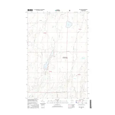
2015 Map of Pike Lake SW
USGS Topo · Published 2015About this map
Chequamegon National Forest defines this portion of Price County, where a complex network of waterways and managed woodlands reflects the region's conservation and recreational character. This 2015 survey documents the varied aquatic landscape of the Northwoods, dominated by the sprawling Wilson Flowage and the more contained Riley Lake. The drainage patterns are clearly visible through the courses of the Elk River and several smaller tributaries such as Riley Cr, Sailor Cr, and Popple Cr. These waters, along with the Schmuland Flowage, serve as vital habitat within the federal forest boundaries. The road network, including Riley Lake Rd and various Forest Service routes like Forest Rd 515, provides access to these remote wetlands and timberlands, illustrating the modern management of Wisconsin's public forest resources.
Find a feature on this map
25 named features on this map. Tap any name to fly to it.
Don’t see what you’re looking for? This feature index may not catch every label — zoom into the map to look around manually.
Map Details
Editions of this 2015 Pike Lake SW Map
This is the sole edition of this map. No revisions or reprints were ever made.
Other maps of this area

1941 · Park Falls
USGS Topo · 1:48,000

1941 · Pike Lake
USGS Topo · 1:48,000

1941 · Phillips
USGS Topo · 1:48,000

1941 · Brantwood
USGS Topo · 1:48,000

1942 · Pike Lake
USGS Topo · 1:48,000

1943 · Park Falls
USGS Topo · 1:48,000

1943 · Philliips
USGS Topo · 1:48,000

1943 · Brantwood
USGS Topo · 1:48,000

1947 · Park Falls
USGS Topo · 1:48,000

1950 · Pike Lake
USGS Topo · 1:48,000