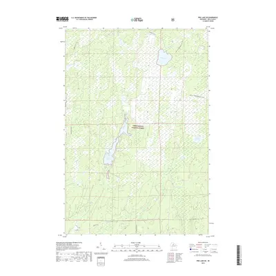
2018 Map of Pike Lake SW
USGS Topo · Published 2018About this map
The Chequamegon National Forest dominates this landscape in Price County, where a complex network of wetlands and small waterways defines the local geography. Significant water bodies like Wilson Flowage and Riley Lake anchor the central and northern sections of the map, while the Elk River flows through the southern reaches. This modern survey illustrates the specialized transportation network that serves this wooded region, featuring recreational routes like the Flambeau ATV 121 and the Price Co Snowmobile 120 (Snow) alongside established timber and access roads such as Forest Rd 131 and Hardwood Ridge Ln. The terrain is characterized by intricate drainage patterns including Popple Creek, Sailor Cr, and Spring Cr, which snake through the dense forest canopy and low-lying marshlands typical of northern Wisconsin's lake country.
Find a feature on this map
16 named features on this map. Tap any name to fly to it.
Don’t see what you’re looking for? This feature index may not catch every label — zoom into the map to look around manually.
Map Details
Editions of this 2018 Pike Lake SW Map
This is the sole edition of this map. No revisions or reprints were ever made.
Other maps of this area

1941 · Park Falls
USGS Topo · 1:48,000

1941 · Pike Lake
USGS Topo · 1:48,000

1941 · Phillips
USGS Topo · 1:48,000

1941 · Brantwood
USGS Topo · 1:48,000

1942 · Pike Lake
USGS Topo · 1:48,000

1943 · Park Falls
USGS Topo · 1:48,000

1943 · Philliips
USGS Topo · 1:48,000

1943 · Brantwood
USGS Topo · 1:48,000

1947 · Park Falls
USGS Topo · 1:48,000

1950 · Pike Lake
USGS Topo · 1:48,000