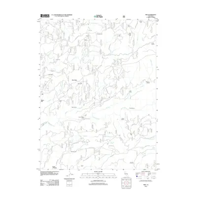
2012 Map of Pike
USGS Topo · Published 2012About this map
Pike and North Columbia anchor this survey of the northern Gold Country, where the deep drainages of the Middle Yuba River and Kanaka Cr dictate the rugged local geography. The map traces a landscape defined by its mining and pioneer history, evidenced by evocative place names such as Negro Tent, Old Mountain House, and Graveyard Hill. Settlement patterns follow the high ridges and old travel routes like Henness Pass Rd, which once served as a primary artery across the Sierra Nevada. Small agricultural holdings and campsites such as Gales Orchard and Trapper Camp sit alongside specialized infrastructure like the Footes Crossing Bridge. Water remains the central character of the terrain, with numerous named springs including Wyatt Earps Spring and Jackies Orchard Spring feeding the complex network of creeks that once powered the region's hydraulic and hard-rock mines.
Find a feature on this map
75 named features on this map. Tap any name to fly to it.
Don’t see what you’re looking for? This feature index may not catch every label — zoom into the map to look around manually.
Map Details
Editions of this 2012 Pike Map
This is the sole edition of this map. No revisions or reprints were ever made.
Other maps of this area

1888 · Smartsville
USGS Topo · 1:125,000

1888 · Bidwell Bar
USGS Topo · 1:125,000

1891 · Bidwell Bar
USGS Topo · 1:125,000

1891 · Downieville
USGS Topo · 1:125,000

1891 · Colfax
USGS Topo · 1:125,000

1891 · Smartsville
USGS Topo · 1:125,000

1892 · Smartsville
USGS Topo · 1:125,000

1892 · Colfax
USGS Topo · 1:125,000

1893 · Bidwell Bar
USGS Topo · 1:125,000

1893 · Downieville
USGS Topo · 1:125,000