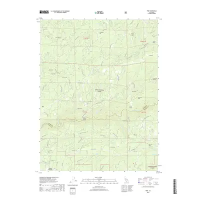
2018 Map of Pike
USGS Topo · Published 2018About this map
The Middle Yuba River carves a deep path through the Sierra Nevada foothills on this map, marking the boundary between Sierra and Nevada counties. This landscape is defined by the legacy of hydraulic mining and gold-era infrastructure, evidenced by the extensive network of historical water conveyors like Plum Valley Ditch and Truckee Ditch. These ditches once fed the gravel mines that shaped the ridges and flats of this region.
Find a feature on this map
95 named features on this map. Tap any name to fly to it.
Don’t see what you’re looking for? This feature index may not catch every label — zoom into the map to look around manually.
Map Details
Editions of this 2018 Pike Map
This is the sole edition of this map. No revisions or reprints were ever made.
Other maps of this area

1888 · Smartsville
USGS Topo · 1:125,000

1888 · Bidwell Bar
USGS Topo · 1:125,000

1891 · Bidwell Bar
USGS Topo · 1:125,000

1891 · Downieville
USGS Topo · 1:125,000

1891 · Colfax
USGS Topo · 1:125,000

1891 · Smartsville
USGS Topo · 1:125,000

1892 · Smartsville
USGS Topo · 1:125,000

1892 · Colfax
USGS Topo · 1:125,000

1893 · Bidwell Bar
USGS Topo · 1:125,000

1893 · Downieville
USGS Topo · 1:125,000