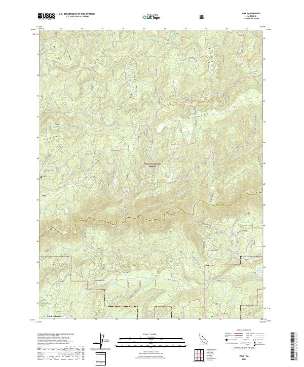
2021 Map of Pike
USGS Topo · Published 2021About this map
Pike and the historical settlements of Columbia Hill and North Columbia define the human footprint on this landscape within the Tahoe National Forest. The geography is shaped by the deep incision of the Middle Yuba River and the high elevations of San Juan Ridge and Pliocene Ridge. The area's legacy of resource extraction is evident in the named infrastructure, including the Black Sands Mine and complex water transport systems like the Truckee Ditch Trl and Plum Valley Ditch Trl.
Find a feature on this map
94 named features on this map. Tap any name to fly to it.
Don’t see what you’re looking for? This feature index may not catch every label — zoom into the map to look around manually.
Map Details
Editions of this 2021 Pike Map
This is the sole edition of this map. No revisions or reprints were ever made.
Other maps of this area

1888 · Smartsville
USGS Topo · 1:125,000

1888 · Bidwell Bar
USGS Topo · 1:125,000

1891 · Bidwell Bar
USGS Topo · 1:125,000

1891 · Downieville
USGS Topo · 1:125,000

1891 · Colfax
USGS Topo · 1:125,000

1891 · Smartsville
USGS Topo · 1:125,000

1892 · Smartsville
USGS Topo · 1:125,000

1892 · Colfax
USGS Topo · 1:125,000

1893 · Bidwell Bar
USGS Topo · 1:125,000

1893 · Downieville
USGS Topo · 1:125,000