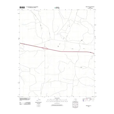
2010 Map of Pikes Peak
USGS Topo · Published 2010About this map
Pikes Peak rises as a central landmark in this high-desert portion of Crockett County, where the landscape is defined by the intermittent watercourses of the Edwards Plateau. The drainage patterns of Howard Draw, Pikes Peak Draw, and Eureka Draw carve through the arid terrain, illustrating the hydrologic character of West Texas. This 2010 survey shows a region largely dedicated to large-scale ranching operations, centered on established family properties like Bunger Ranch and Clayton Ranch. The transport network relies on a mix of state and local infrastructure, including Ranch Rd 2398 and the unpaved stretches of Vic Montgomery Rd and Clayton Rd. This map provides a detailed view of the rural homesteads and resource access roads that supported the cattle and sheep industries of the early twenty-first century.
Find a feature on this map
11 named features on this map. Tap any name to fly to it.
Don’t see what you’re looking for? This feature index may not catch every label — zoom into the map to look around manually.
Map Details
Editions of this 2010 Pikes Peak Map
This is the sole edition of this map. No revisions or reprints were ever made.
Other maps of this area

1929 · Sheffield
USGS Topo · 1:125,000

1954 · Sonora
USGS Topo · 1:250,000

1958 · Sonora
USGS Topo · 1:250,000
1967 · Owens Creek SE
USGS Topo · 1:24,000
1967 · Burnt Canyon
USGS Topo · 1:24,000
1967 · Pikes Peak
USGS Topo · 1:24,000
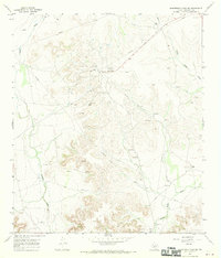
1967 · Schneeman Draw SW
USGS Topo · 1:24,000
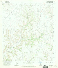
1967 · Hunt Ranch
USGS Topo · 1:24,000
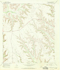
1967 · Bachelor Hill
USGS Topo · 1:24,000
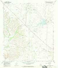
1967 · Schneeman Draw SE
USGS Topo · 1:24,000