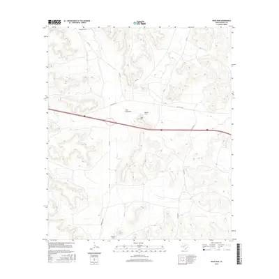
2016 Map of Pikes Peak
USGS Topo · Published 2016About this map
Pikes Peak rises as the primary topographic landmark in this section of Crockett County, presiding over a series of drainage systems including Pikes Peak Draw and Eureka Draw. The landscape is defined by its drainage patterns rather than dense settlement, with the broad path of Howard Draw cutting through the western portion of the quadrangle. Transportation infrastructure dominates the human footprint here, centered on the intersection of modern corridors and long-standing ranching routes. Navigating this arid terrain relies on a network of named roads such as FM 2398, Ranch Rd 2398, and Clayton Rd, which provide access across the high plateaus and through the natural draws that define the region's geography.
Find a feature on this map
11 named features on this map. Tap any name to fly to it.
Don’t see what you’re looking for? This feature index may not catch every label — zoom into the map to look around manually.
Map Details
Editions of this 2016 Pikes Peak Map
This is the sole edition of this map. No revisions or reprints were ever made.
Other maps of this area

1929 · Sheffield
USGS Topo · 1:125,000

1954 · Sonora
USGS Topo · 1:250,000

1958 · Sonora
USGS Topo · 1:250,000
1967 · Owens Creek SE
USGS Topo · 1:24,000
1967 · Burnt Canyon
USGS Topo · 1:24,000
1967 · Pikes Peak
USGS Topo · 1:24,000
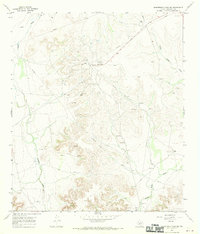
1967 · Schneeman Draw SW
USGS Topo · 1:24,000
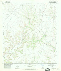
1967 · Hunt Ranch
USGS Topo · 1:24,000
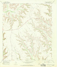
1967 · Bachelor Hill
USGS Topo · 1:24,000
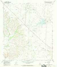
1967 · Schneeman Draw SE
USGS Topo · 1:24,000