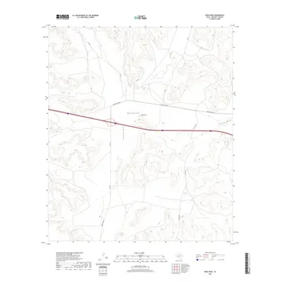
2019 Map of Pikes Peak
USGS Topo · Published 2019About this map
Pikes Peak rises as a prominent landmark in this segment of Crockett County, anchoring a landscape defined by its deep drainage patterns and modern infrastructure. The topography is shaped by significant seasonal watercourses, notably Pikes Peak Draw, Howard Draw, and Eureka Draw, which carve through the high plains of West Texas. This 2019 survey documents the modern road network essential to the region's ranching and transit economy, featuring Ranch Rd 2398 and FM 2398 as primary east-west arteries. Local routes like Clayton Rd and Howard Draw Rd provide access to the vast interior of the county. The map illustrates the transition from high-speed interstate travel to the rural ranch roads that have long supported the isolated communities and livestock operations of this arid territory.
Find a feature on this map
11 named features on this map. Tap any name to fly to it.
Don’t see what you’re looking for? This feature index may not catch every label — zoom into the map to look around manually.
Map Details
Editions of this 2019 Pikes Peak Map
This is the sole edition of this map. No revisions or reprints were ever made.
Other maps of this area

1929 · Sheffield
USGS Topo · 1:125,000

1954 · Sonora
USGS Topo · 1:250,000

1958 · Sonora
USGS Topo · 1:250,000
1967 · Owens Creek SE
USGS Topo · 1:24,000
1967 · Burnt Canyon
USGS Topo · 1:24,000
1967 · Pikes Peak
USGS Topo · 1:24,000
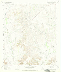
1967 · Schneeman Draw SW
USGS Topo · 1:24,000
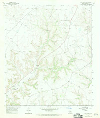
1967 · Hunt Ranch
USGS Topo · 1:24,000
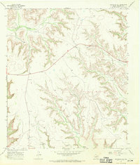
1967 · Bachelor Hill
USGS Topo · 1:24,000
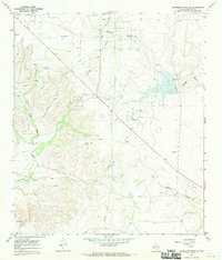
1967 · Schneeman Draw SE
USGS Topo · 1:24,000