Loading...
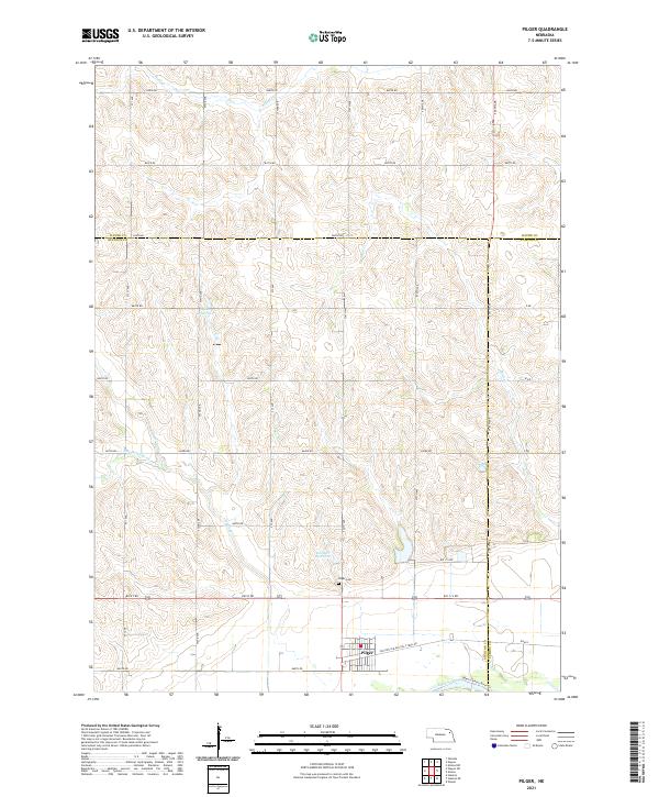
Loading map...2021 Map of Pilger
USGS Topo · Published 2021About this map
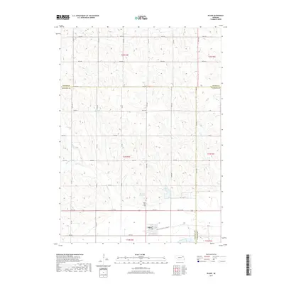
Pilger anchors this corner of Stanton County, positioned near the southern bend of the Elkhorn River. The surrounding landscape is defined by the intersection of several watercourses, including Plum Cr, Sand Cr, and the drainages of Humbug Cr. Local landmarks such as the Pilger Cem and agricultural water management features like Bordner Reservoir and Willers Reservoir reflect the rural community's long-standing connection to the land.
Find a feature on this map
43 named features on this map. Tap any name to fly to it.
Don’t see what you’re looking for? This feature index may not catch every label — zoom into the map to look around manually.
Map Details
Date Portrayed2021
Date Published2021
PublisherU.S. Geological Survey
Map TypeTopographic
Scale1:24,000
Physical Dimensions24 x 29 inches
Editions of this 2021 Pilger Map
This is the sole edition of this map. No revisions or reprints were ever made.
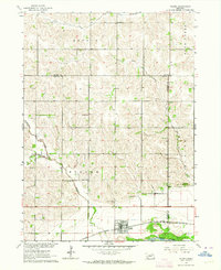
Historical Maps of Pilger Through Time
5 maps found
Featured Locations
Source Details
SourceU.S. Geological Survey
CopyrightPublic Domain