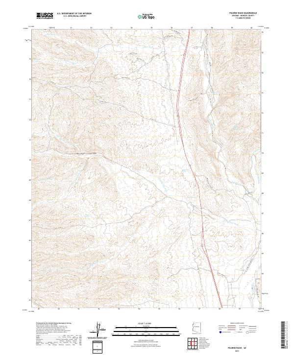
2021 Map of Pilgrim Wash
USGS Topo · Published 2021About this map
Cane Springs and its surrounding desert drainage systems define this section of Mohave County, where life and travel center on intermittent water sources. The landscape is a network of named washes and springs, including Higgins Spring, Hackberry Spring, and Kaiser Wash Spring, which historically provided the essential points of hydration for ranching and passage in this arid environment. The presence of Big Pasture Spring and various ranch roads, such as Odle Ranch Rd and Bogies Ranch Rd, suggests a long history of cattle operations. The topography is channeled by several significant drainage paths like Knight Creek and the namesake Pilgrim Wash, both of which feed toward the Big Sandy River in the southeastern corner. This area serves as a rugged corridor for local transit via routes like Co Hwy 129, connecting the remote canyon lands with larger regional thoroughfares.
Find a feature on this map
37 named features on this map. Tap any name to fly to it.
Don’t see what you’re looking for? This feature index may not catch every label — zoom into the map to look around manually.
Map Details
Editions of this 2021 Pilgrim Wash Map
This is the sole edition of this map. No revisions or reprints were ever made.
Other maps of this area

1886 · Diamond Creek
USGS Topo · 1:250,000

1892 · Diamond Creek
USGS Topo · 1:250,000

1923 · Signal
USGS Topo · 1:250,000

1942 · Signal
USGS Topo · 1:250,000

1948 · Williams
USGS Topo · 1:250,000

1950 · Prescott
USGS Topo · 1:250,000

1954 · Prescott
USGS Topo · 1:250,000

1954 · Williams
USGS Topo · 1:250,000

1956 · Williams
USGS Topo · 1:250,000

1958 · Prescott
USGS Topo · 1:250,000