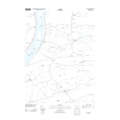
2013 Map of Pillow
USGS Topo · Published 2013About this map
Herndon and Port Trevorton flank the broad Susquehanna River in this central Pennsylvania landscape, where river islands like Whites Island, Carls Island, and Toad Island break the wide channel. Inland, the terrain rises into the distinctive ridges of Hooflander Mountain and Mahantango Mountain, creating the steep Dornsife Gap through which the Mahanoy Creek flows. The area is characterized by small, established agricultural communities and historic gathering places like the Camp Meeting Grove near Mandata.
Find a feature on this map
88 named features on this map. Tap any name to fly to it.
Don’t see what you’re looking for? This feature index may not catch every label — zoom into the map to look around manually.
Map Details
Editions of this 2013 Pillow Map
This is the sole edition of this map. No revisions or reprints were ever made.
Other maps of this area

1892 · Lykens
USGS Topo · 1:62,500

1892 · Shamokin
USGS Topo · 1:62,500
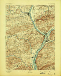
1893 · Sunbury
USGS Topo · 1:62,500

1893 · Lykens
USGS Topo · 1:62,500
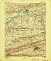
1893 · Shamokin
USGS Topo · 1:62,500

1893 · Millersburg
USGS Topo · 1:62,500
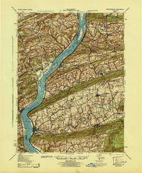
1943 · Millersburg
USGS Topo · 1:62,500
1943 · Lykens
USGS Topo · 1:62,500
1943 · Shamokin
USGS Topo · 1:62,500
1943 · Sunbury
USGS Topo · 1:62,500