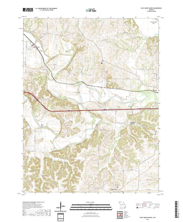
2021 Map of Pilot Grove North
USGS Topo · Published 2021About this map
Chouteau Springs and the winding course of the Blackwater River define this rural landscape in Cooper County. The terrain is a complex network of creeks and river bottoms, where the Lamine River and Chouteau Creek converge amidst rolling topography. The settlement pattern is anchored by the small communities of Blackwater, Lamine, and the northern edge of Pilot Grove, connected by a web of local routes like State Hwy M and Bryant Bottom Rd.
Find a feature on this map
69 named features on this map. Tap any name to fly to it.
Don’t see what you’re looking for? This feature index may not catch every label — zoom into the map to look around manually.
Map Details
Editions of this 2021 Pilot Grove North Map
This is the sole edition of this map. No revisions or reprints were ever made.
Other maps of this area

1887 · Sedalia
USGS Topo · 1:125,000

1888 · Boonville
USGS Topo · 1:125,000

1890 · Glasgow
USGS Topo · 1:125,000

1890 · Marshall
USGS Topo · 1:125,000

1892 · Marshall
USGS Topo · 1:125,000

1894 · Sedalia
USGS Topo · 1:125,000

1901 · Marshall
USGS Topo · 1:125,000

1940 · Marshall
USGS Topo · 1:62,500

1944 · Marshall
USGS Topo · 1:62,500

1947 · Glasgow
USGS Topo · 1:62,500