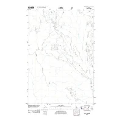
2011 Map of Pilot Knob
USGS Topo · Published 2011About this map
Old Elk City Wagon Rd and Lookout Butte Rd carve paths through this section of Idaho County, marking the long-standing transportation corridors used by miners and settlers in the Clearwater region. The hydrography is defined by the extensive drainage network of Newsome Creek, which is fed by numerous tributaries including China Creek, Haysfork Creek, and Sing Lee Creek. The prevalence of mining-era nomenclature in the stream names suggests the historical prospecting activity that once dominated these canyons. Further south, Pilot Knob Rd provides access to higher elevations, while Sawmill Creek and West Fork Newsome Creek indicate the varied industrial and natural resources found within the watershed. This 2011 survey serves as a modern record of these enduring geographic landmarks and forest access routes.
Find a feature on this map
16 named features on this map. Tap any name to fly to it.
Don’t see what you’re looking for? This feature index may not catch every label — zoom into the map to look around manually.
Map Details
Editions of this 2011 Pilot Knob Map
This is the sole edition of this map. No revisions or reprints were ever made.
Other maps of this area

1924 · Weippe
USGS Topo · 1:125,000

1931 · Buffalo Hump
USGS Topo · 1:125,000

1934 · Buffalo Hump
USGS Topo · 1:125,000

1956 · Elk City
USGS Topo · 1:250,000

1956 · Hamilton
USGS Topo · 1:250,000

1959 · Hamilton
USGS Topo · 1:250,000

1960 · Elk City
USGS Topo · 1:250,000

1960 · Hamilton
USGS Topo · 1:250,000

1962 · Golden
USGS Topo · 1:24,000

1962 · Center Star Mtn
USGS Topo · 1:24,000