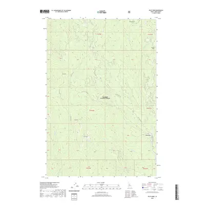
2020 Map of Pilot Knob
USGS Topo · Published 2020About this map
Newsome serves as a primary geographic anchor in this section of the Nez Perce Little Baldy National Forest, where high-elevation ridges and mountain streams dominate the landscape. The topographic data reveals a network of historic transit routes, most notably the Old Elk City Wagon Rd, which winds through the eastern portion of the map. High peaks such as Pilot Knob and Pilot Rock stand as significant landmarks alongside Baldy Mtn, overlooking a dense system of drainages including Newsome Cr and W Fork Newsome Cr. Small, family-named or local-interest features like Sing Lee Cr, Haysfork Cr, and Hamby Saddle suggest a history of early exploration and prospecting in these remote Idaho hills. Modern forest management is reflected in the detailed layout of roads like Lookout Butte Rd and Pilot Knob Rd, which provide access across the ridge systems of Radcliff Ridge.
Find a feature on this map
47 named features on this map. Tap any name to fly to it.
Don’t see what you’re looking for? This feature index may not catch every label — zoom into the map to look around manually.
Map Details
Editions of this 2020 Pilot Knob Map
This is the sole edition of this map. No revisions or reprints were ever made.
Other maps of this area

1924 · Weippe
USGS Topo · 1:125,000

1931 · Buffalo Hump
USGS Topo · 1:125,000

1934 · Buffalo Hump
USGS Topo · 1:125,000

1956 · Elk City
USGS Topo · 1:250,000

1956 · Hamilton
USGS Topo · 1:250,000

1959 · Hamilton
USGS Topo · 1:250,000

1960 · Elk City
USGS Topo · 1:250,000

1960 · Hamilton
USGS Topo · 1:250,000

1962 · Golden
USGS Topo · 1:24,000

1962 · Center Star Mtn
USGS Topo · 1:24,000