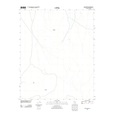
2012 Map of Pilot Knob
USGS Topo · Published 2012About this map
Robbers Mountain stands as a prominent landmark in this desert expanse of San Bernardino County, where the terrain is defined by dry washes and isolated peaks. Mapping by the U.S. Geological Survey in the early 2010s shows a landscape dominated by natural features and primitive 4WD tracks rather than dense settlement. The southern portion of the quadrangle is anchored by Pilot Knob and the nearby Pyramid Point, illustrating the topographic relief of this arid region. The network of unnamed ephemeral streams and local roads suggests a remote area primarily used for transit or resource management, preserving a snapshot of the Mojave Desert's undeveloped character at this point in time.
Find a feature on this map
3 named features on this map. Tap any name to fly to it.
Don’t see what you’re looking for? This feature index may not catch every label — zoom into the map to look around manually.
Map Details
Editions of this 2012 Pilot Knob Map
This is the sole edition of this map. No revisions or reprints were ever made.
Other maps of this area

1915 · Searles Lake
USGS Topo · 1:250,000

1947 · Trona
USGS Topo · 1:250,000

1948 · Trona
USGS Topo · 1:250,000

1949 · Searles Lake
USGS Topo · 1:62,500

1950 · Searles Lake
USGS Topo · 1:62,500

1950 · Wingate Pass
USGS Topo · 1:62,500

1951 · Wingate Pass
USGS Topo · 1:62,500

1953 · Trona
USGS Topo · 1:250,000

1954 · Pilot Knob
USGS Topo · 1:62,500

1954 · Cuddeback Lake
USGS Topo · 1:62,500