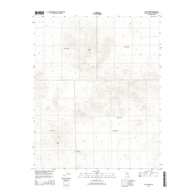
2015 Map of Pilot Knob
USGS Topo · Published 2015About this map
Pilot Knob and Robbers Mtn define the high elevations of this arid expanse within the Mojave Desert in San Bernardino County. This 2015 survey by the U.S. Geological Survey documents a landscape where vertical relief is the primary feature, centered on the dramatic rise of Pilot Knob. Survival in this environment is historically linked to the scattered water sources identified here, specifically Lead Pipe Spring and Seep Spring. The map clearly delineates the township and range system, including t28s r44e and t29s r45e, which grids the open terrain south of Pyramid Point. The cartography emphasizes natural landforms over human development, providing a clear record of the geological formations and isolated water points that have dictated movement through this part of the California desert.
Find a feature on this map
10 named features on this map. Tap any name to fly to it.
Don’t see what you’re looking for? This feature index may not catch every label — zoom into the map to look around manually.
Map Details
Editions of this 2015 Pilot Knob Map
This is the sole edition of this map. No revisions or reprints were ever made.
Other maps of this area

1915 · Searles Lake
USGS Topo · 1:250,000

1947 · Trona
USGS Topo · 1:250,000

1948 · Trona
USGS Topo · 1:250,000

1949 · Searles Lake
USGS Topo · 1:62,500

1950 · Searles Lake
USGS Topo · 1:62,500

1950 · Wingate Pass
USGS Topo · 1:62,500

1951 · Wingate Pass
USGS Topo · 1:62,500

1953 · Trona
USGS Topo · 1:250,000

1954 · Pilot Knob
USGS Topo · 1:62,500

1954 · Cuddeback Lake
USGS Topo · 1:62,500