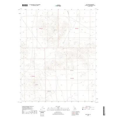
2018 Map of Pilot Knob
USGS Topo · Published 2018About this map
Robbers Mtn dominates the northern reaches of this high-desert terrain, standing as a prominent landmark within the northern Mojave Desert. This 2018 survey reveals a landscape defined by extreme relief and sparse water sources, where survival once depended on knowing the locations of places like Lead Pipe Spring and Seep Spring. The topography transitions from the rugged heights of Pilot Knob in the southwest to the distinct elevation of Pyramid Point. Human presence is minimal, marked primarily by the remote Lead Pipe Spring Rd and the systematic grid of the Public Land Survey System, including sections of t28s r44e and t29s r45e. This map provides a clear record of the geological features and essential water points that have dictated movement through this arid part of San Bernardino County for generations.
Find a feature on this map
11 named features on this map. Tap any name to fly to it.
Don’t see what you’re looking for? This feature index may not catch every label — zoom into the map to look around manually.
Map Details
Editions of this 2018 Pilot Knob Map
This is the sole edition of this map. No revisions or reprints were ever made.
Other maps of this area

1915 · Searles Lake
USGS Topo · 1:250,000

1947 · Trona
USGS Topo · 1:250,000

1948 · Trona
USGS Topo · 1:250,000

1949 · Searles Lake
USGS Topo · 1:62,500

1950 · Searles Lake
USGS Topo · 1:62,500

1950 · Wingate Pass
USGS Topo · 1:62,500

1951 · Wingate Pass
USGS Topo · 1:62,500

1953 · Trona
USGS Topo · 1:250,000

1954 · Pilot Knob
USGS Topo · 1:62,500

1954 · Cuddeback Lake
USGS Topo · 1:62,500