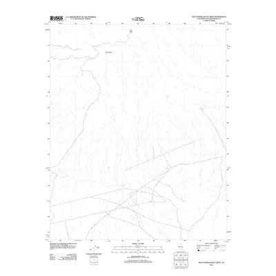
2012 Map of Pilot Knob Valley West
USGS Topo · Published 2012About this map
Slate Range dominates the northwestern portion of this 2012 survey, defining the high ground of the Mojave Desert landscape. Along its northern edge, Straw Peak serves as a prominent landmark overlooking a network of ephemeral desert washes that fan out across the valley floor. The map captures a complex system of unpaved roads and tracks that crisscross the lower elevations, reflecting the modern utility of this arid terrain for transit and recreation within San Bernardino County. While the landscape is sparsely named, the precise mapping of these drainage patterns and desert trails provides an essential record of the physical geography and accessibility of this section of the Pilot Knob Valley.
Find a feature on this map
2 named features on this map. Tap any name to fly to it.
Don’t see what you’re looking for? This feature index may not catch every label — zoom into the map to look around manually.
Map Details
Editions of this 2012 Pilot Knob Valley West Map
This is the sole edition of this map. No revisions or reprints were ever made.
Other maps of this area

1915 · Searles Lake
USGS Topo · 1:250,000

1947 · Trona
USGS Topo · 1:250,000

1948 · Trona
USGS Topo · 1:250,000

1949 · Searles Lake
USGS Topo · 1:62,500

1950 · Searles Lake
USGS Topo · 1:62,500

1950 · Wingate Pass
USGS Topo · 1:62,500

1951 · Wingate Pass
USGS Topo · 1:62,500

1953 · Trona
USGS Topo · 1:250,000

1954 · Pilot Knob
USGS Topo · 1:62,500

1954 · Cuddeback Lake
USGS Topo · 1:62,500