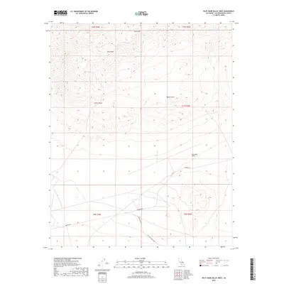
2018 Map of Pilot Knob Valley West
USGS Topo · Published 2018About this map
Straw Peak and the southern reaches of the Slate Range dominate the northern terrain of this high-desert landscape in the Mojave Desert. The map records a transition from these dramatic elevations down into the wide, arid expanse of Pilot Knob Valley to the south. Historically significant travel routes bisect the southern half of the quadrangle, including the Randsburg Rd and its connector, the Randsburg Cutoff, which serve as vital arteries through this sparsely populated corner of San Bernardino County. These roads, along with the Lead Pipe Spring Rd, trace the paths of desert transit long used by miners and ranchers navigating between the mountain ranges and the valley floor.
Find a feature on this map
13 named features on this map. Tap any name to fly to it.
Don’t see what you’re looking for? This feature index may not catch every label — zoom into the map to look around manually.
Map Details
Editions of this 2018 Pilot Knob Valley West Map
This is the sole edition of this map. No revisions or reprints were ever made.
Other maps of this area

1915 · Searles Lake
USGS Topo · 1:250,000

1947 · Trona
USGS Topo · 1:250,000

1948 · Trona
USGS Topo · 1:250,000

1949 · Searles Lake
USGS Topo · 1:62,500

1950 · Searles Lake
USGS Topo · 1:62,500

1950 · Wingate Pass
USGS Topo · 1:62,500

1951 · Wingate Pass
USGS Topo · 1:62,500

1953 · Trona
USGS Topo · 1:250,000

1954 · Pilot Knob
USGS Topo · 1:62,500

1954 · Cuddeback Lake
USGS Topo · 1:62,500