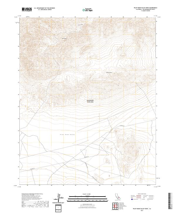
2021 Map of Pilot Knob Valley West
USGS Topo · Published 2021About this map
Straw Peak rises as the dominant elevation in the northern Slate Range, marking the high point of a terrain defined by steep contours and desert washes. This portion of the Mojave Desert is characterized by its isolation, where the vast Pilot Knob Valley opens to the south, providing a natural basin between the rugged northern ranges. The lack of permanent structures or settlements suggests a landscape preserved for its geological and natural character rather than industrial or residential development.
Find a feature on this map
9 named features on this map. Tap any name to fly to it.
Don’t see what you’re looking for? This feature index may not catch every label — zoom into the map to look around manually.
Map Details
Editions of this 2021 Pilot Knob Valley West Map
This is the sole edition of this map. No revisions or reprints were ever made.
Other maps of this area

1915 · Searles Lake
USGS Topo · 1:250,000

1947 · Trona
USGS Topo · 1:250,000

1948 · Trona
USGS Topo · 1:250,000

1949 · Searles Lake
USGS Topo · 1:62,500

1950 · Searles Lake
USGS Topo · 1:62,500

1950 · Wingate Pass
USGS Topo · 1:62,500

1951 · Wingate Pass
USGS Topo · 1:62,500

1953 · Trona
USGS Topo · 1:250,000

1954 · Pilot Knob
USGS Topo · 1:62,500

1954 · Cuddeback Lake
USGS Topo · 1:62,500