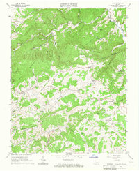
1965 Map of Pilot
USGS Topo · Published 1966About this map
The boundary between Montgomery and Floyd counties follows the crests of Fishers View Mountain and Pilot Mountain, defining a landscape where narrow valleys are home to concentrated rural settlements. Small hamlets like Huffville and Pilot serve as nodes in a network of winding mountain roads and creek-side dwellings. The area is dotted with numerous small country churches, including Vaughn Chapel, Sowders Chapel, and Bethlehem Church, highlighting the deep-seated community structures typical of the mid-20th-century Blue Ridge region.
Find a feature on this map
52 named features on this map. Tap any name to fly to it.
Don’t see what you’re looking for? This feature index may not catch every label — zoom into the map to look around manually.
Map Details
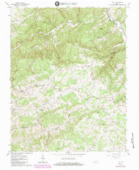
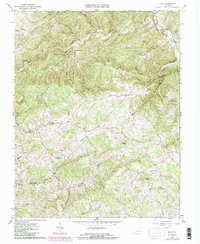
Editions of this 1965 Pilot Map
Other maps of this area

1890 · Christiansburg
USGS Topo · 1:125,000

1932 · Blacksburg
USGS Topo · 1:48,000

1937 · Blacksburg
USGS Topo · 1:62,500

1950 · Elliston
USGS Topo · 1:62,500

1953 · Winston-Salem
USGS Topo · 1:250,000

1955 · Bluefield
USGS Topo · 1:250,000

1955 · Winston-Salem
USGS Topo · 1:250,000

1957 · Endicott
USGS Topo · 1:62,500

1957 · Floyd
USGS Topo · 1:62,500

1957 · Bluefield
USGS Topo · 1:250,000