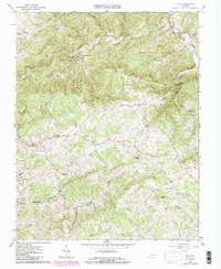
1965 Map of Pilot
USGS Topo · Published 1984About this map
The Montgomery Co / Floyd Co boundary divides this landscape, where the Blue Ridge highlands drop toward the headwaters of the Roanoke River. The high ridge lines of Pilot Mountain and Fishers View Mountain define the drainage patterns for numerous creeks, including Brush Creek and Elliott Creek. This 1960s survey, updated in the early 1980s, documents a rural network of small agricultural settlements like Pilot and Huffville connected by winding mountain roads. Family and community history is anchored by a significant number of small country churches and cemeteries, such as St Mathews Ch, Oak Grove Ch, and Sowders Chapel. The terrain is deeply etched with named hollows, including Texas Hollow and Possum Hollow, reflecting a long history of local place-naming by the families who settled these narrow valleys and ridges.
Find a feature on this map
50 named features on this map. Tap any name to fly to it.
Don’t see what you’re looking for? This feature index may not catch every label — zoom into the map to look around manually.
Map Details
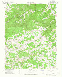
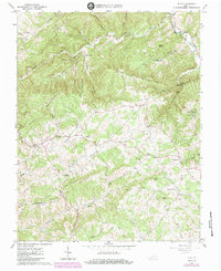
Editions of this 1965 Pilot Map
Other maps of this area

1890 · Christiansburg
USGS Topo · 1:125,000

1932 · Blacksburg
USGS Topo · 1:48,000

1937 · Blacksburg
USGS Topo · 1:62,500

1950 · Elliston
USGS Topo · 1:62,500

1953 · Winston-Salem
USGS Topo · 1:250,000

1955 · Bluefield
USGS Topo · 1:250,000

1955 · Winston-Salem
USGS Topo · 1:250,000

1957 · Endicott
USGS Topo · 1:62,500

1957 · Floyd
USGS Topo · 1:62,500

1957 · Bluefield
USGS Topo · 1:250,000