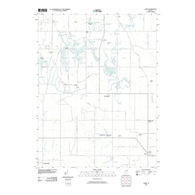
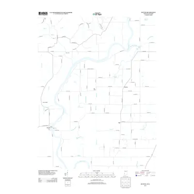
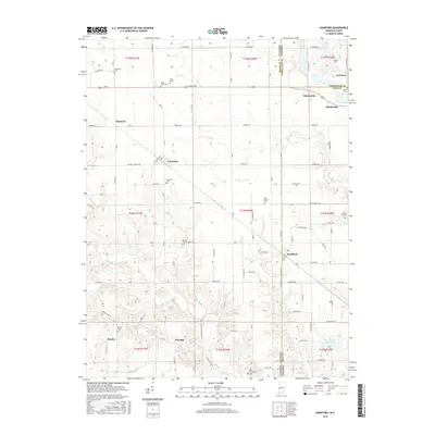
2022 Map of Pimento
USGS Topo · Published 2022About this map
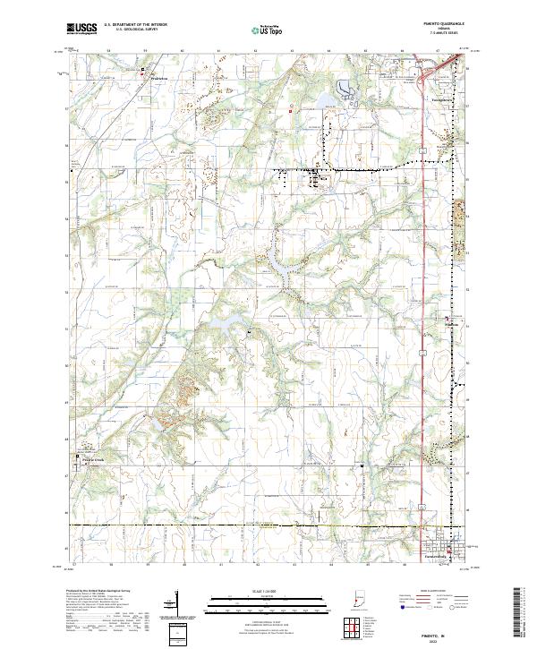
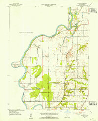
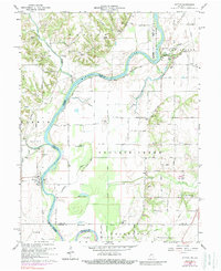
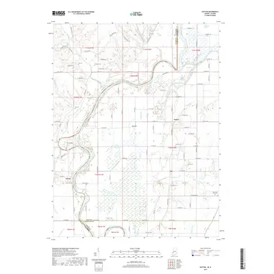
Prairieton sits at the northwestern edge of this landscape, marking an area defined by agricultural development and a complex network of drainage ditches and creeks. The terrain transitions from the lowlands of Hayworth Slough and McFarland Ditch in the west toward the higher ground near Youngstown and Pimento in the east. The map illustrates a rural society organized around small crossroads settlements and community hubs like Prairie Creek, where the First Prairie Creek Baptist Church Cem serves as a local landmark. A notable concentration of educational and transportation infrastructure appears in the northeast, anchored by the Ivy Tech Community College Terre Haute and nearby Aero Plaines Airport. Farther south, the Vigo and Sullivan County line bisects the territory just north of Farmersburg, revealing a landscape where traditional family-named cemeteries like Kester Cem and Union Cem are preserved amidst modern section lines and state roads.
Find a feature on this map
107 named features on this map. Tap any name to fly to it.
Don’t see what you’re looking for? This feature index may not catch every label — zoom into the map to look around manually.
Map Details
Editions of this 2022 Pimento Map
This is the sole edition of this map. No revisions or reprints were ever made.
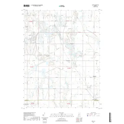
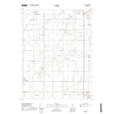
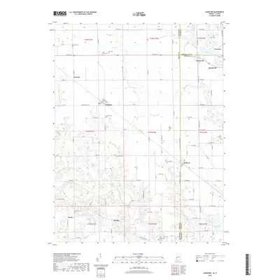
Historical Maps of Prairieton Through Time
31 maps found
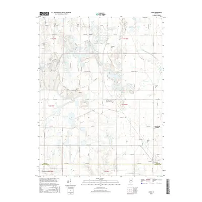
1940 Lewis
Vigo County, IN
1940 Pimento
Vigo County, IN
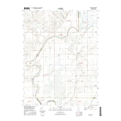
1942 Hutton
Vigo County, IN
1952 Hutton
Vigo County, IN
1952 Lewis
Vigo County, IN
1958 Pimento
Vigo County, IN
1963 Lewis
Vigo County, IN
1964 Hutton
Vigo County, IN
1966 Sandford
Vigo County, IN
1998 Hutton
Vigo County, IN
1998 Sandford
Vigo County, IN
2010 Lewis
Vigo County, IN
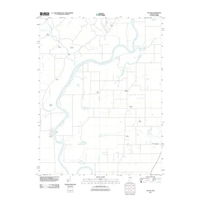
2011 Hutton
Vigo County, IN
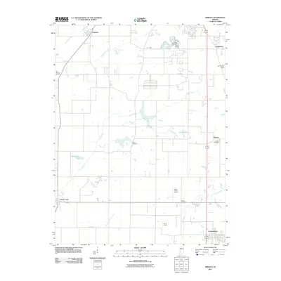
2011 Pimento
Vigo County, IN
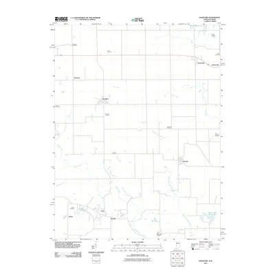
2011 Sandford
Vigo County, IN
2013 Hutton
Vigo County, IN
2013 Lewis
Vigo County, IN
2013 Pimento
Vigo County, IN
2013 Sandford
Vigo County, IN
2016 Hutton
Vigo County, IN
2016 Lewis
Vigo County, IN
2016 Pimento
Vigo County, IN
2016 Sandford
Vigo County, IN
2019 Hutton
Vigo County, IN
2019 Lewis
Vigo County, IN
2019 Pimento
Vigo County, IN
2019 Sandford
Vigo County, IN
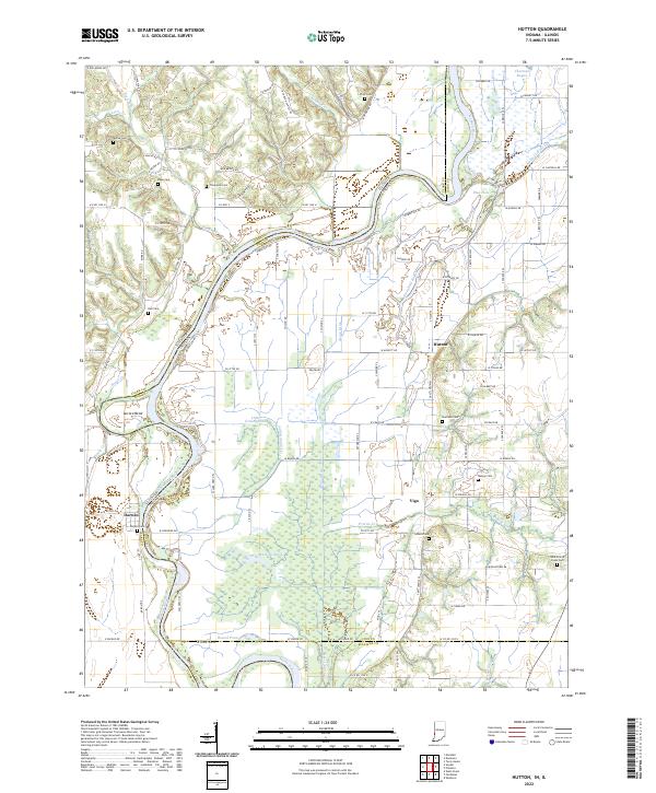
2022 Hutton
Vigo County, IN
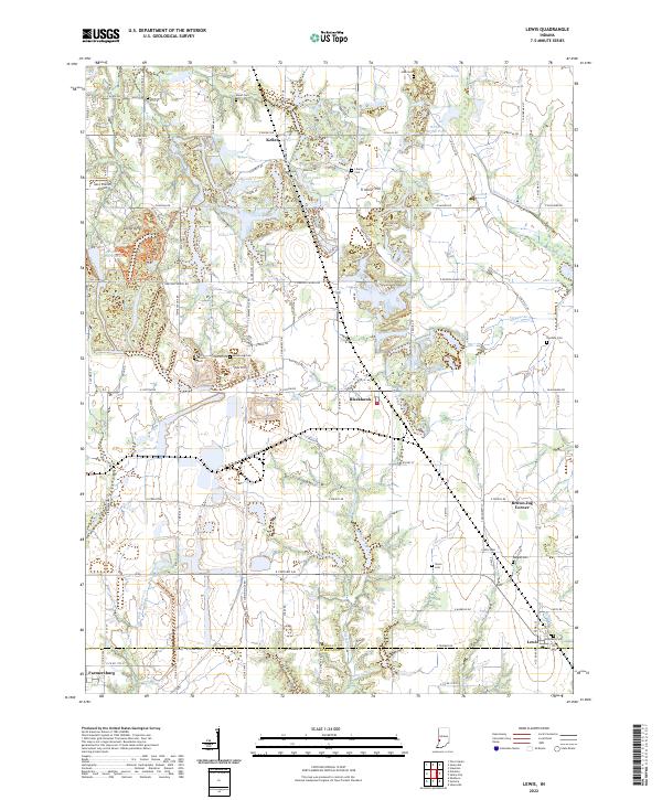
2022 Lewis
Vigo County, IN
2022 Pimento
Vigo County, IN
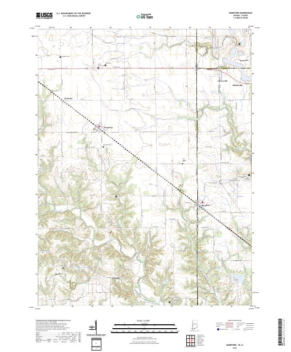
2022 Sandford
Vigo County, IN