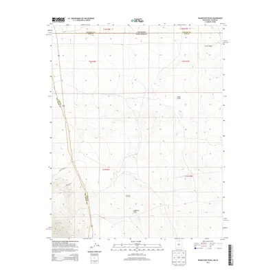
2013 Map of Pinabetoso Peaks
USGS Topo · Published 2013About this map
The high-altitude landscape of the Colorado and New Mexico border is defined by the Pinabetoso Peaks and the sweeping Punche Valley to the north. This 2013 survey illustrates a transition from the administrative boundaries of Conejos County, Colorado, into the rugged northern reaches of Taos and Rio Arriba Counties in New Mexico. The area is largely dedicated to land and wildlife management, evidenced by the Pina Game Water Unit and the Maestas Antelope Guzzler, which support local fauna in this arid environment. Infrastructure is sparse, consisting primarily of utility-focused routes such as Forest Road 118 and Gravel Pit Rd, reflecting a region prioritized for conservation and resource management rather than residential settlement.
Find a feature on this map
14 named features on this map. Tap any name to fly to it.
Don’t see what you’re looking for? This feature index may not catch every label — zoom into the map to look around manually.
Map Details
Editions of this 2013 Pinabetoso Peaks Map
This is the sole edition of this map. No revisions or reprints were ever made.
Other maps of this area

1918 · Tusas
USGS Topo · 1:125,000

1922 · Conejos
USGS Topo · 1:125,000

1945 · Durango
USGS Topo · 1:250,000

1953 · Durango
USGS Topo · 1:250,000

1954 · Durango
USGS Topo · 1:250,000

1954 · Raton
USGS Topo · 1:250,000

1954 · Trinidad
USGS Topo · 1:250,000

1954 · Aztec
USGS Topo · 1:250,000

1955 · Trinidad
USGS Topo · 1:250,000

1958 · Raton
USGS Topo · 1:250,000