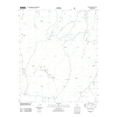
2011 Map of Pinal Peak
USGS Topo · Published 2011About this map
The Pinal Mountains dominate this high-elevation terrain south of Globe, punctuated by significant summits including Signal Peak and its namesake Pinal Peak. This 2011 survey documents a landscape defined by water management and forest recreation, where dozens of upland tanks like Solitude Gulch Tank and Schoolhouse Tank support local ranching operations. The infrastructure of the Tonto National Forest is evident through the presence of the Signal Peak Lookout Tower and established campsites such as the Ice House CCC Campground, which reflects the legacy of the Civilian Conservation Corps in the region.
Find a feature on this map
85 named features on this map. Tap any name to fly to it.
Don’t see what you’re looking for? This feature index may not catch every label — zoom into the map to look around manually.
Map Details
Editions of this 2011 Pinal Peak Map
This is the sole edition of this map. No revisions or reprints were ever made.
Other maps of this area

1901 · Globe
USGS Topo · 1:62,500

1902 · Globe
USGS Topo · 1:62,500

1910 · Ray
USGS Topo · 1:62,500

1915 · Christmas
USGS Topo · 1:62,500

1917 · Christmas
USGS Topo · 1:62,500

1945 · Globe
USGS Topo · 1:24,000

1945 · Inspiration
USGS Topo · 1:24,000

1947 · Inspiration
USGS Topo · 1:24,000

1948 · Pinal Ranch
USGS Topo · 1:24,000

1949 · Pinal Ranch
USGS Topo · 1:24,000