
1963 Map of Pine Bluffs
USGS Topo · Published 1967About this map
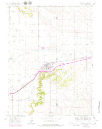
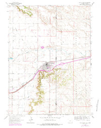
Pine Bluffs serves as a critical junction on the High Plains, situated where the Union Pacific railroad corridor meets the state line between Wyoming and Nebraska. The 1963 field check reveals a town structured by transport and local industry, featuring the local High Sch, a community Rodeo Ground, and the state Port of Entry. The landscape is defined by the escarpments of the Pine Bluffs terrain and the drainage network of Lodgepole Creek, Muddy Creek, and Spring Creek. Water management is evident through the Wisvoth Reservoir and numerous wells dotting the arid draws. This survey documents the transition between the rolling hills of the Bushnell and Johnson areas and the industrial marks of multiple Gravel Pits and a prominent Radio Tower, reflecting the post-war infrastructure of the Laramie County borderlands.
Find a feature on this map
18 named features on this map. Tap any name to fly to it.
Don’t see what you’re looking for? This feature index may not catch every label — zoom into the map to look around manually.
Map Details
Editions of this 1963 Pine Bluffs Map
3 editions found
Other maps of this area

1954 · Scottsbluff
USGS Topo · 1:250,000

1954 · Cheyenne
USGS Topo · 1:250,000

1958 · Cheyenne
USGS Topo · 1:250,000

1958 · Scottsbluff
USGS Topo · 1:250,000

1963 · Lindbergh
USGS Topo · 1:24,000

1963 · Pine Bluffs SE
USGS Topo · 1:24,000

1963 · Pine Bluffs SW
USGS Topo · 1:24,000

1963 · Tracy
USGS Topo · 1:24,000

1968 · Pine Bluffs
USGS Topo · 1:24,000
1972 · Bushnell SW
USGS Topo · 1:24,000