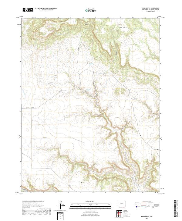
2022 Map of Pine Canyon
USGS Topo · Published 2022About this map
Mesa de Maya and Hardesty Mesa define the high tablelands of this Las Animas County landscape, where deep drainages like Schoolhouse Canyon and Grandma Canyon have carved the terrain over millennia. The map reveals a remote ranching environment organized around seasonal water sources and isolated family landmarks. Historical presence is anchored by the Crespin Cem, a significant site for genealogists tracing local Hispanic heritage in the region.
Find a feature on this map
33 named features on this map. Tap any name to fly to it.
Don’t see what you’re looking for? This feature index may not catch every label — zoom into the map to look around manually.
Map Details
Editions of this 2022 Pine Canyon Map
This is the sole edition of this map. No revisions or reprints were ever made.
Other maps of this area

1891 · Mesa De Maya
USGS Topo · 1:125,000

1893 · Mesa de Maya
USGS Topo · 1:125,000

1954 · Dalhart
USGS Topo · 1:250,000

1955 · La Junta
USGS Topo · 1:250,000

1958 · La Junta
USGS Topo · 1:250,000

1958 · Dalhart
USGS Topo · 1:250,000

1962 · Dalhart
USGS Topo · 1:250,000

1968 · La Junta
USGS Topo · 1:250,000
1972 · Branson SE
USGS Topo · 1:24,000

1972 · Emery Peak
USGS Topo · 1:24,000