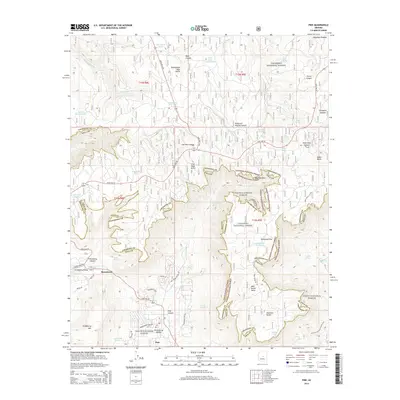
2014 Map of Pine
USGS Topo · Published 2014About this map
Strawberry and the northern edge of Pine anchor this survey of the high country where the Mogollon Plateau drops away at the Mogollon Rim. This dramatic geographic boundary marks the transition between the Coconino National Forest and Tonto National Forest, as well as the border between Coconino and Gila Counties. The landscape is defined by its water sources and sharp relief, from the heights of Baker Butte and Strawberry Mtn to the depths of Clover Canyon and Pine Canyon.
Find a feature on this map
61 named features on this map. Tap any name to fly to it.
Don’t see what you’re looking for? This feature index may not catch every label — zoom into the map to look around manually.
Map Details
Editions of this 2014 Pine Map
This is the sole edition of this map. No revisions or reprints were ever made.
Other maps of this area

1887 · Verde
USGS Topo · 1:250,000

1892 · Verde
USGS Topo · 1:250,000

1923 · Camp Verde
USGS Topo · 1:125,000

1929 · Turret Peak
USGS Topo · 1:125,000

1932 · Camp Verde
USGS Topo · 1:125,000

1933 · Turret Peak
USGS Topo · 1:125,000

1934 · Pine
USGS Topo · 1:62,500

1936 · Camp Verde
USGS Topo · 1:125,000

1940 · Pine
USGS Topo · 1:62,500

1952 · Pine
USGS Topo · 1:62,500