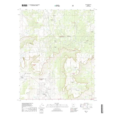
2018 Map of Pine
USGS Topo · Published 2018About this map
The Mogollon Rim forms a dramatic escarpment through this portion of central Arizona, dividing the high Mogollon Plateau to the north from the canyon-carved lowlands of the Tonto National Forest. Near the southern edge of the survey, the settlement of Pine and its neighbor Strawberry Hollow are situated within the Strawberry Valley, surrounded by notable peaks like Strawberry Mtn and the steep walls of Strawberry Canyon.
Find a feature on this map
77 named features on this map. Tap any name to fly to it.
Don’t see what you’re looking for? This feature index may not catch every label — zoom into the map to look around manually.
Map Details
Editions of this 2018 Pine Map
This is the sole edition of this map. No revisions or reprints were ever made.
Other maps of this area

1887 · Verde
USGS Topo · 1:250,000

1892 · Verde
USGS Topo · 1:250,000

1923 · Camp Verde
USGS Topo · 1:125,000

1929 · Turret Peak
USGS Topo · 1:125,000

1932 · Camp Verde
USGS Topo · 1:125,000

1933 · Turret Peak
USGS Topo · 1:125,000

1934 · Pine
USGS Topo · 1:62,500

1936 · Camp Verde
USGS Topo · 1:125,000

1940 · Pine
USGS Topo · 1:62,500

1952 · Pine
USGS Topo · 1:62,500