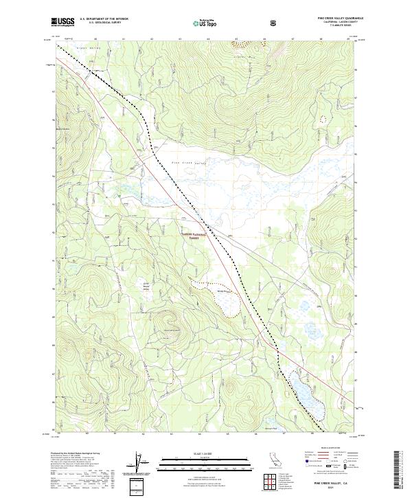
2021 Map of Pine Creek Valley
USGS Topo · Published 2021About this map
Lassen National Forest terrain dominates this 2021 study, where the high-elevation landscape is defined by volcanic features and seasonally fluctuating water bodies. The central Pine Creek Valley provides a level corridor between significant peaks such as Crater Mtn to the north and Round Valley Butte to the south. Historically significant logging and forest access routes like the Westwood Logging Rd, FGS Cutoff, and Mooney Road (LA 103) crisscross the area, reflecting the region's long-standing connection to timber management. Notable hydrology includes Feather Lake and Long Lake in the southeast, with the headwaters of the Susan River emerging near Norvell Flat. The map also captures several distinct local landforms including Bogard Buttes and the open expanses of Grays Valley and Little Round Valley.
Find a feature on this map
29 named features on this map. Tap any name to fly to it.
Don’t see what you’re looking for? This feature index may not catch every label — zoom into the map to look around manually.
Map Details
Editions of this 2021 Pine Creek Valley Map
This is the sole edition of this map. No revisions or reprints were ever made.
Other maps of this area

1886 · Honey Lake
USGS Topo · 1:250,000

1886 · Lassen Peak
USGS Topo · 1:250,000

1891 · Honey Lake
USGS Topo · 1:250,000

1892 · Lassen Peak
USGS Topo · 1:250,000

1893 · Honey Lake
USGS Topo · 1:250,000

1894 · Lassen Peak
USGS Topo · 1:250,000

1939 · Halls Flat
USGS Topo · 1:125,000

1955 · Westwood
USGS Topo · 1:62,500

1955 · Westwood
USGS Topo · 1:250,000

1956 · Chester
USGS Topo · 1:62,500