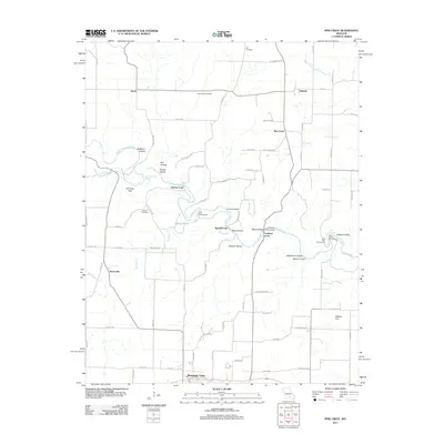
2011 Map of Pine Crest
USGS Topo · Published 2011About this map
Mountain View serves as the southern anchor for this section of Howell County, where the Ozark landscape is defined by the winding course of the Jacks Fork river. This 2011 survey captures the area's rural character, characterized by numerous hollows and family-named landmarks. The river itself is the focal point of local activity, featuring historical crossings like Harlow Ford and Ratcliff Ford, alongside recreational and cultural sites such as Blue Spring and the Baptizing Hole.
Find a feature on this map
79 named features on this map. Tap any name to fly to it.
Don’t see what you’re looking for? This feature index may not catch every label — zoom into the map to look around manually.
Map Details
Editions of this 2011 Pine Crest Map
This is the sole edition of this map. No revisions or reprints were ever made.
Other maps of this area

1945 · Willow Springs
USGS Topo · 1:62,500

1945 · Montier
USGS Topo · 1:62,500

1945 · Clear Springs
USGS Topo · 1:62,500

1946 · Summersville
USGS Topo · 1:62,500

1948 · Clear Springs
USGS Topo · 1:62,500

1948 · Montier
USGS Topo · 1:62,500

1948 · Willow Springs
USGS Topo · 1:62,500

1948 · Summersville
USGS Topo · 1:62,500

1949 · Rolla
USGS Topo · 1:250,000

1953 · Rolla
USGS Topo · 1:250,000