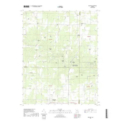
2017 Map of Pine Crest
USGS Topo · Published 2017About this map
Jacks Fork winds through the heart of the Ozarks here, carving a landscape defined by deep hollows and ancient springs within the Ozark National Scenic Riverway. This 2017 survey captures the intersection of Shannon, Howell, and Texas counties, where small settlements like Arroll and Pine Crest remain connected by a network of county roads. The terrain is marked by numerous family and community landmarks, including Harlow Cem and Cold Spring Cem, which serve as vital touchstones for local genealogy. The importance of the river to the local community is evident in names such as Harlow Ford, Ratcliff Ford, and the descriptive Baptizing Hole. To the south, the northern edge of Mountain View introduces more modern development, contrasted by the numerous "Hollows" that dominate the northern topography, such as Buckhorn Hollow and Grassy Hollow.
Find a feature on this map
110 named features on this map. Tap any name to fly to it.
Don’t see what you’re looking for? This feature index may not catch every label — zoom into the map to look around manually.
Map Details
Editions of this 2017 Pine Crest Map
This is the sole edition of this map. No revisions or reprints were ever made.
Other maps of this area

1945 · Willow Springs
USGS Topo · 1:62,500

1945 · Montier
USGS Topo · 1:62,500

1945 · Clear Springs
USGS Topo · 1:62,500

1946 · Summersville
USGS Topo · 1:62,500

1948 · Clear Springs
USGS Topo · 1:62,500

1948 · Montier
USGS Topo · 1:62,500

1948 · Willow Springs
USGS Topo · 1:62,500

1948 · Summersville
USGS Topo · 1:62,500

1949 · Rolla
USGS Topo · 1:250,000

1953 · Rolla
USGS Topo · 1:250,000