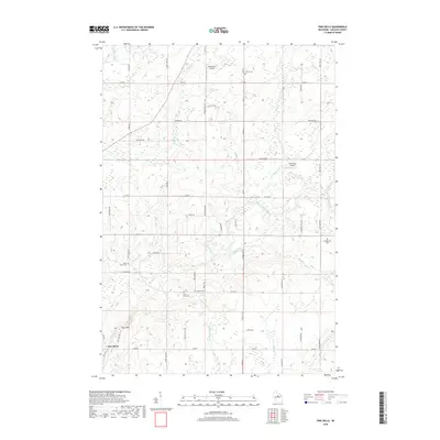
2018 Map of Pine Dells
USGS Topo · Published 2018About this map
Pine River and the winding Prairie River define the hydraulic character of this Lincoln County landscape. The settlement of Pine River and the nearby Pine Dells area are surrounded by a network of rural roads such as French Ridge Rd and Co Rd C. For genealogists, the map is a significant record of local burials, specifically marking Saint James Cem, Saint Paul Cem, Springbrook Cem, Trinity Cem, and Calvary Cem, which serve the surrounding farmsteads. Two small landing strips, Podeweltz Airport and Pine River Airport, highlight the region's light aviation footprint. The terrain is further dissected by numerous smaller waterways, including Pat Smith Cr and the Little Trappe River, which follow the glacial contours of the Upper Wisconsin River basin.
Find a feature on this map
53 named features on this map. Tap any name to fly to it.
Don’t see what you’re looking for? This feature index may not catch every label — zoom into the map to look around manually.
Map Details
Editions of this 2018 Pine Dells Map
This is the sole edition of this map. No revisions or reprints were ever made.
Other maps of this area

1899 · Wausau
USGS Topo · 1:125,000

1902 · Wausau
USGS Topo · 1:125,000

1940 · Parrish
USGS Topo · 1:48,000

1950 · Parrish
USGS Topo · 1:48,000

1950 · Tomahawk
USGS Topo · 1:48,000

1951 · Doering
USGS Topo · 1:48,000

1951 · Merrill
USGS Topo · 1:48,000

1952 · Parrish
USGS Topo · 1:48,000

1952 · Tomahawk
USGS Topo · 1:48,000

1954 · Iron Mountain
USGS Topo · 1:250,000