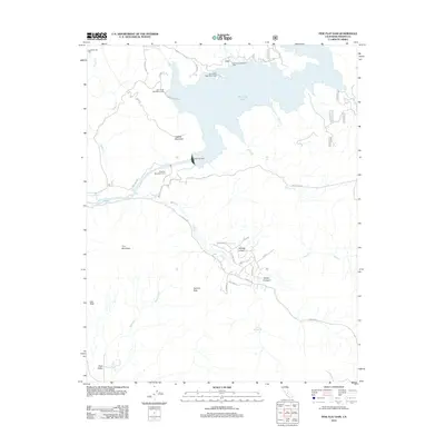
2012 Map of Pine Flat Dam
USGS Topo · Published 2012About this map
Pine Flat Lake dominates the northern landscape of this Fresno County survey, its waters held by the Pine Flat Dam on the Kings River. The area serves as a significant recreational hub, featuring various managed sites including the Lakeview Recreation Area, Island Park Recreation Area, and Deer Creek Recreation Area. The terrain rises sharply from the water's edge to prominent summits such as Hughes Mountain and Tivy Mountain, while the distinct Jug Rock landmark stands to the southwest.
Find a feature on this map
37 named features on this map. Tap any name to fly to it.
Don’t see what you’re looking for? This feature index may not catch every label — zoom into the map to look around manually.
Map Details
Editions of this 2012 Pine Flat Dam Map
This is the sole edition of this map. No revisions or reprints were ever made.
Other maps of this area

1920 · Orangedale School
USGS Topo · 1:24,000

1921 · Squaw Valley
USGS Topo · 1:31,680

1922 · Trimmer
USGS Topo · 1:96,000

1923 · Orangedale School
USGS Topo · 1:31,680

1923 · Wahtoke
USGS Topo · 1:31,680

1924 · Citrus Cove
USGS Topo · 1:31,680

1924 · Dinuba
USGS Topo · 1:125,000

1942 · Watts Valley
USGS Topo · 1:62,500

1942 · Dunlap
USGS Topo · 1:62,500

1944 · Watts Valley
USGS Topo · 1:62,500