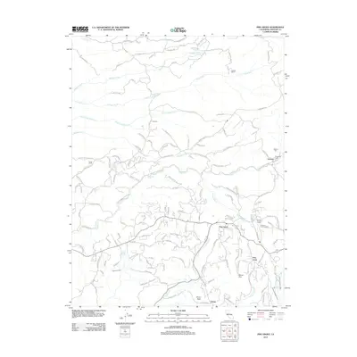
2012 Map of Pine Grove
USGS Topo · Published 2012About this map
Volcano and Pine Grove serve as central hubs in this early 21st-century landscape of Amador County, where residential clusters are set against the Sierra Nevada foothills. The map reveals a community deeply connected to its local heritage, evidenced by the Catholic Cem and Protestant Cem situated near the outskirts of Volcano. To the south, Pine Acres and Clinton mark the expanding footprint of modern residential life, while institutional land use is represented by the Pine Grove Forestry Camp and the California Youth Authority.
Find a feature on this map
139 named features on this map. Tap any name to fly to it.
Don’t see what you’re looking for? This feature index may not catch every label — zoom into the map to look around manually.
Map Details
Editions of this 2012 Pine Grove Map
This is the sole edition of this map. No revisions or reprints were ever made.
Other maps of this area

1889 · Jackson
USGS Topo · 1:125,000

1891 · Placerville
USGS Topo · 1:125,000

1892 · Jackson
USGS Topo · 1:125,000

1892 · Placerville
USGS Topo · 1:125,000

1893 · Placerville
USGS Topo · 1:125,000

1897 · Jackson
USGS Topo · 1:125,000

1902 · Jackson
USGS Topo · 1:125,000

1941 · Sutter Creek
USGS Topo · 1:62,500

1944 · Sutter Creek
USGS Topo · 1:62,500

1947 · Sacramento
USGS Topo · 1:250,000