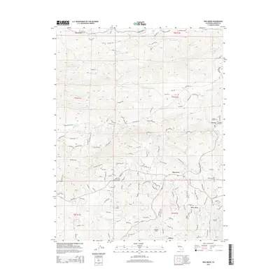
2015 Map of Pine Grove
USGS Topo · Published 2015About this map
Pine Grove and the neighboring community of Pine Acres anchor this 2015 study of the Amador County foothills. The landscape is defined by its complex hydraulic history, featuring the Amador Canal, Upper Standard Canal, and the Volcano Ditch, which trace the contours of the terrain to support local industry. Significant elevation changes are marked by peaks like Mt Zion and Clinton Peak, while the northern reaches include the historic settlement of Volcano, home to both a Catholic Cemetery and a Protestant Cemetery.
Find a feature on this map
141 named features on this map. Tap any name to fly to it.
Don’t see what you’re looking for? This feature index may not catch every label — zoom into the map to look around manually.
Map Details
Editions of this 2015 Pine Grove Map
This is the sole edition of this map. No revisions or reprints were ever made.
Other maps of this area

1889 · Jackson
USGS Topo · 1:125,000

1891 · Placerville
USGS Topo · 1:125,000

1892 · Jackson
USGS Topo · 1:125,000

1892 · Placerville
USGS Topo · 1:125,000

1893 · Placerville
USGS Topo · 1:125,000

1897 · Jackson
USGS Topo · 1:125,000

1902 · Jackson
USGS Topo · 1:125,000

1941 · Sutter Creek
USGS Topo · 1:62,500

1944 · Sutter Creek
USGS Topo · 1:62,500

1947 · Sacramento
USGS Topo · 1:250,000