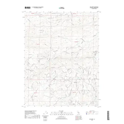
2018 Map of Pine Grove
USGS Topo · Published 2018About this map
Volcano and Pine Grove center this 2018 survey of Amador County, showcasing a landscape defined by its Gold Country heritage and complex water management. The community of Volcano is anchored by its historic burial grounds, the Volcano Catholic Cem and Volcano Protestant Cem, while the surrounding terrain is etched with the legacy of resource extraction and conveyance. The intricate network of the Amador Canal, Upper Standard Canal, and Lower Standard Canal illustrates the vital role of water engineering in the region. Further south, the settlement of Clinton sits near Clinton Peak, while the Electra Tunnel indicates modern utility infrastructure beneath the surface. Named landmarks like New York Ranch Gulch and Mt Zion provide specific points of interest for local historians, as does the winding path of Sutter Cr and its various forks that cut through the foothills.
Find a feature on this map
168 named features on this map. Tap any name to fly to it.
Don’t see what you’re looking for? This feature index may not catch every label — zoom into the map to look around manually.
Map Details
Editions of this 2018 Pine Grove Map
This is the sole edition of this map. No revisions or reprints were ever made.
Other maps of this area

1889 · Jackson
USGS Topo · 1:125,000

1891 · Placerville
USGS Topo · 1:125,000

1892 · Jackson
USGS Topo · 1:125,000

1892 · Placerville
USGS Topo · 1:125,000

1893 · Placerville
USGS Topo · 1:125,000

1897 · Jackson
USGS Topo · 1:125,000

1902 · Jackson
USGS Topo · 1:125,000

1941 · Sutter Creek
USGS Topo · 1:62,500

1944 · Sutter Creek
USGS Topo · 1:62,500

1947 · Sacramento
USGS Topo · 1:250,000