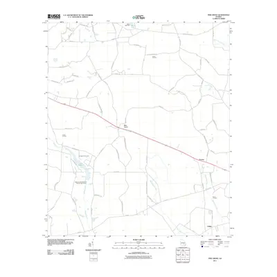
2011 Map of Pine Grove
USGS Topo · Published 2011About this map
The small communities of Pine Grove and Prentiss anchor this south Georgia landscape, characterized by a complex network of wetlands and creek systems. Located just west of Baxley in Appling County, the area is defined by the slow-moving waters of Bishop Creek, Black Water Creek, and Sweetwater Creek. Notable man-made modifications to the natural drainage include the Bishop Creek Structure Number Seven Dam and the Miller Lake Dam, which create significant local water bodies like Lake Mayers.
Find a feature on this map
64 named features on this map. Tap any name to fly to it.
Don’t see what you’re looking for? This feature index may not catch every label — zoom into the map to look around manually.
Map Details
Editions of this 2011 Pine Grove Map
This is the sole edition of this map. No revisions or reprints were ever made.
Other maps of this area

1953 · Waycross
USGS Topo · 1:250,000

1958 · Waycross
USGS Topo · 1:250,000

1970 · Baxley NE
USGS Topo · 1:24,000

1970 · Pine Grove
USGS Topo · 1:24,000
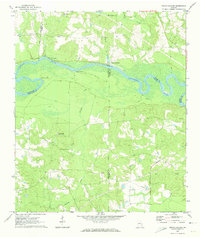
1970 · Grays Landing
USGS Topo · 1:24,000

1970 · Baxley
USGS Topo · 1:24,000

1971 · Nicholls NE
USGS Topo · 1:24,000
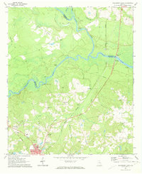
1971 · Hazlehurst North
USGS Topo · 1:24,000

1971 · Alma NW
USGS Topo · 1:24,000

1971 · Hazlehurst South
USGS Topo · 1:24,000