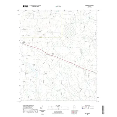
2020 Map of Pine Grove
USGS Topo · Published 2020About this map
Baxley and the surrounding agricultural lands of Appling County and Jeff Davis County define this modern topographic study. The landscape is structured by the long corridor of Golden Isle W, which connects a string of rural settlements including Graham, Pine Grove, and Prentiss. This transportation spine mirrors the historical development of the region, where small community hubs grew along primary transit routes through the Georgia coastal plain.
Find a feature on this map
97 named features on this map. Tap any name to fly to it.
Don’t see what you’re looking for? This feature index may not catch every label — zoom into the map to look around manually.
Map Details
Editions of this 2020 Pine Grove Map
This is the sole edition of this map. No revisions or reprints were ever made.
Other maps of this area

1953 · Waycross
USGS Topo · 1:250,000

1958 · Waycross
USGS Topo · 1:250,000

1970 · Baxley NE
USGS Topo · 1:24,000

1970 · Pine Grove
USGS Topo · 1:24,000
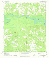
1970 · Grays Landing
USGS Topo · 1:24,000

1970 · Baxley
USGS Topo · 1:24,000

1971 · Nicholls NE
USGS Topo · 1:24,000
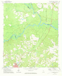
1971 · Hazlehurst North
USGS Topo · 1:24,000

1971 · Alma NW
USGS Topo · 1:24,000

1971 · Hazlehurst South
USGS Topo · 1:24,000