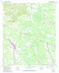
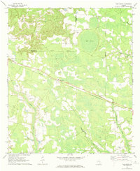
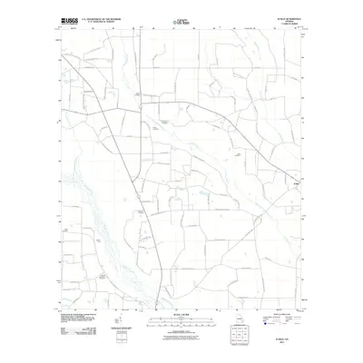
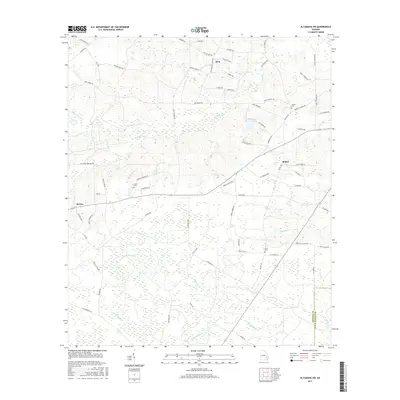
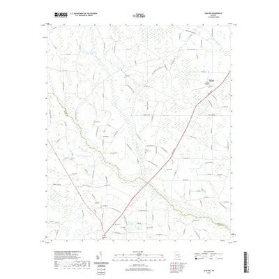
1970 Map of Pine Grove
USGS Topo · Published 1988About this map
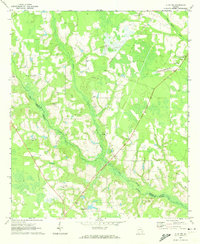
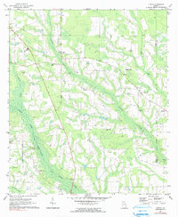
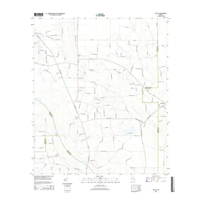
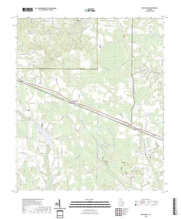
Graham and the namesake community of Pine Grove anchor this late-century landscape where the Jeff Davis and Appling County line runs through swampy lowlands and pine forests. Originally surveyed in 1970 and updated with 1980s data, the map reveals a rural economy shaped by a long straightaway of the southern railroad corridor, which links the settlements of Graham and Prentiss. The terrain is defined by its water systems, including the expansive Big Pond and the winding reaches of Bishop Creek, Black Water Creek, and Sweetwater Creek. Local genealogy and community history are well-preserved through numerous small landmarks, from the Sellers and Crapps cemeteries to a network of country churches like Oakview, Midway, and Big Oak. A notable 1980s addition includes a Radio Tower and an Industrial rail spur, indicating the gradual shift toward modernization in this traditionally agrarian corner of Georgia.
Find a feature on this map
23 named features on this map. Tap any name to fly to it.
Don’t see what you’re looking for? This feature index may not catch every label — zoom into the map to look around manually.
Map Details
Editions of this 1970 Pine Grove Map
2 editions found
Historical Maps of Baxley Through Time
30 maps found
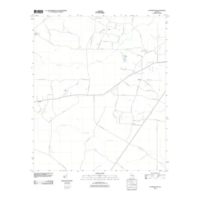
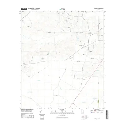
1970 Altamaha SW
Appling County, GA
1970 Pine Grove
Appling County, GA
1971 Alma NE
Appling County, GA
1971 Alma NW
Appling County, GA
1971 K'ville
Appling County, GA
2011 Alma NE
Appling County, GA
2011 Alma NW
Appling County, GA
2011 Altamaha SW
Appling County, GA
2011 K'Ville
Appling County, GA
2011 Pine Grove
Appling County, GA

2014 Alma NE
Appling County, GA

2014 Alma NW
Appling County, GA
2014 Altamaha SW
Appling County, GA
2014 K'Ville
Appling County, GA
2014 Pine Grove
Appling County, GA
2017 Alma NE
Appling County, GA
2017 Alma NW
Appling County, GA
2017 Altamaha SW
Appling County, GA
2017 K'Ville
Appling County, GA
2017 Pine Grove
Appling County, GA
2020 Alma NE
Appling County, GA
2020 Alma NW
Appling County, GA
2020 Altamaha SW
Appling County, GA
2020 K'Ville
Appling County, GA
2020 Pine Grove
Appling County, GA
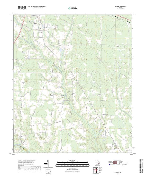
2024 Alma NE
Appling County, GA
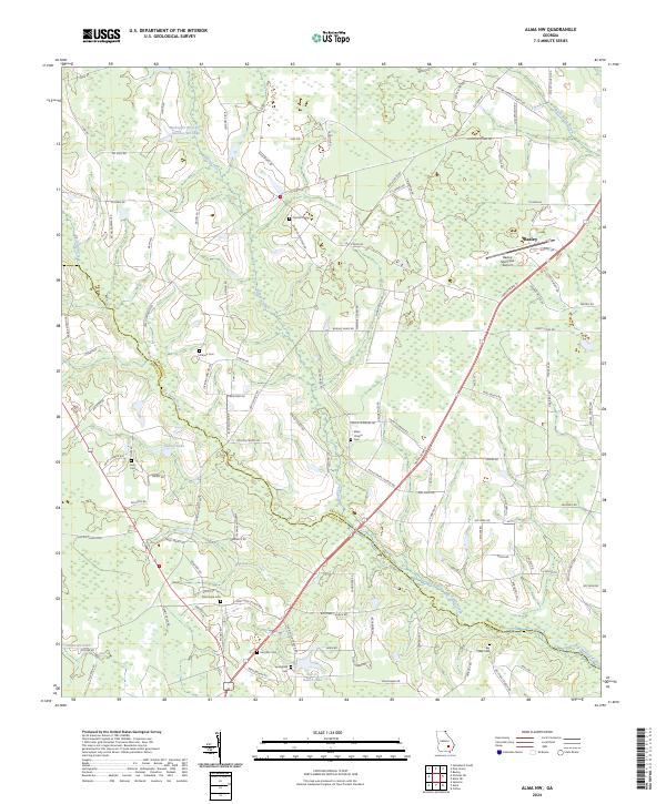
2024 Alma NW
Appling County, GA
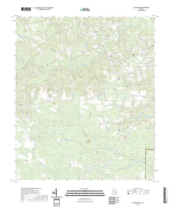
2024 Altamaha SW
Appling County, GA
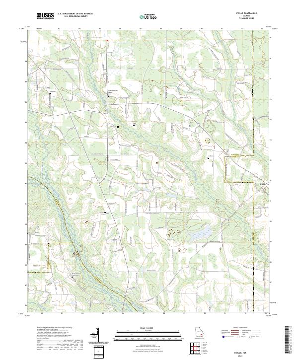
2024 K'Ville
Appling County, GA
2024 Pine Grove
Appling County, GA