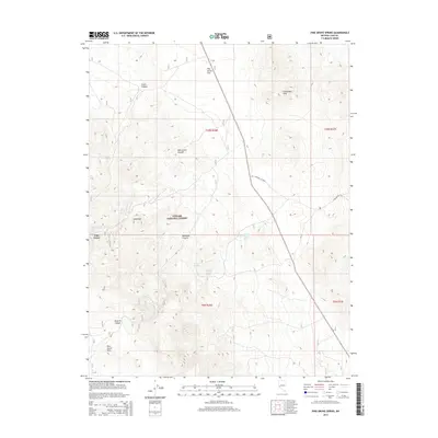
2014 Map of Pine Grove Spring
USGS Topo · Published 2014About this map
Pine Grove Hills define the high country of Lyon County in this 2014 survey, where the small settlement of Pine Grove sits at the edge of the Toiyabe National Forest. The map documents a landscape defined by its vital water sources, including Pine Grove Spring, Scotts Spring, and Twin Springs, which have long served travelers and ranchers in this arid region. These springs are concentrated around the deep cuts of Rockland Canyon and Dead Ox Canyon, illustrating how the geography dictated movement and survival.
Find a feature on this map
21 named features on this map. Tap any name to fly to it.
Don’t see what you’re looking for? This feature index may not catch every label — zoom into the map to look around manually.
Map Details
Editions of this 2014 Pine Grove Spring Map
This is the sole edition of this map. No revisions or reprints were ever made.
Other maps of this area

1891 · Wellington
USGS Topo · 1:125,000

1893 · Wellington
USGS Topo · 1:125,000

1909 · Hawthorne
USGS Topo · 1:250,000

1911 · Hawthorne
USGS Topo · 1:250,000

1915 · Hawthorne
USGS Topo · 1:250,000

1948 · Walker Lake
USGS Topo · 1:250,000

1956 · Mt. Grant
USGS Topo · 1:62,500

1957 · Walker Lake
USGS Topo · 1:250,000

1957 · Yerington
USGS Topo · 1:62,500

1958 · Pine Grove Hills
USGS Topo · 1:62,500