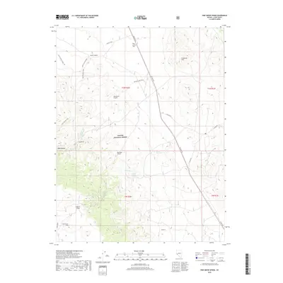
2018 Map of Pine Grove Spring
USGS Topo · Published 2018About this map
Pine Grove and the nearby Pine Grove Flat anchor this landscape within the Toiyabe National Forest, representing a remote region of Lyon County defined by its precious water sources and rugged canyons. The map documents a network of high-desert terrain where vital water points like Pine Grove Spring, Scotts Spring, and the Webster Water Hole provided essential relief for travelers and local residents. The settlement pattern is tied closely to the topography, with landmarks such as Sugarloaf and the Cambridge Hills rising above numerous drainages including Rockland Canyon and Dead Ox Canyon. A detailed system of routes, from the Scott Canyon Trail to the Old Boundary Trail, reveals how this territory was navigated before modern infrastructure reached deep into the Pine Grove Hills.
Find a feature on this map
27 named features on this map. Tap any name to fly to it.
Don’t see what you’re looking for? This feature index may not catch every label — zoom into the map to look around manually.
Map Details
Editions of this 2018 Pine Grove Spring Map
This is the sole edition of this map. No revisions or reprints were ever made.
Other maps of this area

1891 · Wellington
USGS Topo · 1:125,000

1893 · Wellington
USGS Topo · 1:125,000

1909 · Hawthorne
USGS Topo · 1:250,000

1911 · Hawthorne
USGS Topo · 1:250,000

1915 · Hawthorne
USGS Topo · 1:250,000

1948 · Walker Lake
USGS Topo · 1:250,000

1956 · Mt. Grant
USGS Topo · 1:62,500

1957 · Walker Lake
USGS Topo · 1:250,000

1957 · Yerington
USGS Topo · 1:62,500

1958 · Pine Grove Hills
USGS Topo · 1:62,500