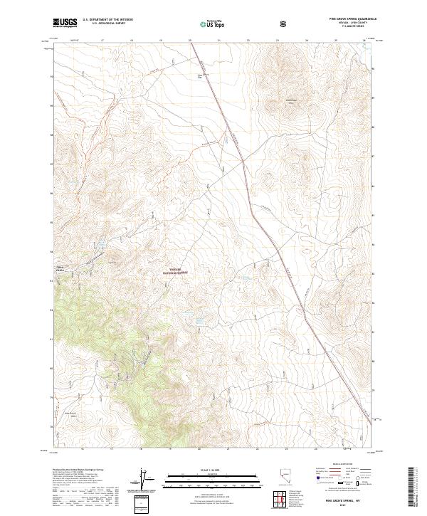
2021 Map of Pine Grove Spring
USGS Topo · Published 2021About this map
Pine Grove stands at the heart of this high-elevation landscape within the Toiyabe National Forest, where steep canyons and crucial water sources dictated the patterns of movement. The terrain is defined by the Pine Grove Hills and the prominent Sugarloaf peak, with deep incisions like Rockland Canyon and Scotts Canyon carving through the range.
Find a feature on this map
28 named features on this map. Tap any name to fly to it.
Don’t see what you’re looking for? This feature index may not catch every label — zoom into the map to look around manually.
Map Details
Editions of this 2021 Pine Grove Spring Map
This is the sole edition of this map. No revisions or reprints were ever made.
Other maps of this area

1891 · Wellington
USGS Topo · 1:125,000

1893 · Wellington
USGS Topo · 1:125,000

1909 · Hawthorne
USGS Topo · 1:250,000

1911 · Hawthorne
USGS Topo · 1:250,000

1915 · Hawthorne
USGS Topo · 1:250,000

1948 · Walker Lake
USGS Topo · 1:250,000

1956 · Mt. Grant
USGS Topo · 1:62,500

1957 · Walker Lake
USGS Topo · 1:250,000

1957 · Yerington
USGS Topo · 1:62,500

1958 · Pine Grove Hills
USGS Topo · 1:62,500