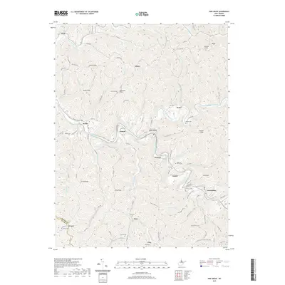
2019 Map of Pine Grove
USGS Topo · Published 2019About this map
Pine Grove and Jacksonburg anchor this segment of the Wetzel and Tyler County borderlands, where the winding South Fork Fishing Creek and North Fork Fishing Creek converge. The landscape is defined by its deep ridges and hollows, including Ashland Ridge, Morgan Ridge, and Furbee Ridge, which have long dictated the placement of family-named settlements like Maud, Galmish, and Piney.
Find a feature on this map
108 named features on this map. Tap any name to fly to it.
Don’t see what you’re looking for? This feature index may not catch every label — zoom into the map to look around manually.
Map Details
Editions of this 2019 Pine Grove Map
This is the sole edition of this map. No revisions or reprints were ever made.
Other maps of this area

1903 · Littleton
USGS Topo · 1:62,500

1905 · Centerpoint
USGS Topo · 1:62,500

1905 · West Union
USGS Topo · 1:62,500

1905 · Littleton
USGS Topo · 1:62,500

1906 · New Martinsville
USGS Topo · 1:62,500

1924 · New Martinsville
USGS Topo · 1:62,500

1924 · Centerpoint
USGS Topo · 1:62,500

1924 · Littleton
USGS Topo · 1:62,500

1924 · West Union
USGS Topo · 1:62,500

1925 · Centerpoint
USGS Topo · 1:62,500