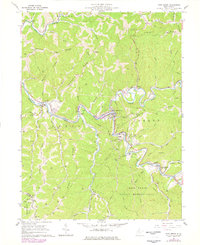
1960 Map of Pine Grove
USGS Topo · Published 1977About this map
Fishing Creek and its many winding forks carve through the landscape of the Wetzel Co and Tyler Co border, where a complex network of oil and gas production is evidenced by numerous unlabeled wells and extensive pipelines. The Baltimore and Ohio railroad follows the sharp meanders of the creek, serving the valley settlements of Pine Grove, Reader, and Jacksonburg. Higher elevations are defined by prominent landforms like Morgan Ridge and McKimmie Ridge, where rural life is anchored by family-named landmarks such as the McKimmie Cem and Ashland Ch. The southern portion of the sheet is dominated by the Lewis Wetzel Public Hunting Area, reflecting a transition from the industrial valley floor to protected woodlands. This survey, based on 1956 photography, documents the infrastructure of the West Virginia gas fields before later 20th-century shifts in the regional energy economy.
Find a feature on this map
72 named features on this map. Tap any name to fly to it.
Don’t see what you’re looking for? This feature index may not catch every label — zoom into the map to look around manually.
Map Details
Editions of this 1960 Pine Grove Map
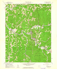
2 editions found
Other maps of this area

1903 · Littleton
USGS Topo · 1:62,500

1905 · Centerpoint
USGS Topo · 1:62,500

1905 · West Union
USGS Topo · 1:62,500

1905 · Littleton
USGS Topo · 1:62,500

1906 · New Martinsville
USGS Topo · 1:62,500

1924 · New Martinsville
USGS Topo · 1:62,500

1924 · Centerpoint
USGS Topo · 1:62,500

1924 · Littleton
USGS Topo · 1:62,500

1924 · West Union
USGS Topo · 1:62,500

1925 · Centerpoint
USGS Topo · 1:62,500