
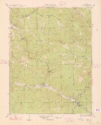
1948 Map of Pine
USGS Topo · Published 1948About this map
The North Fork South Platte River carves through the landscape of the Pike National Forest in this mid-century survey, documenting a collection of mountain communities and ranches. The settlement of Pine serves as a central hub, while the terrain is marked by distinctive geological formations like the Cathedral Spires and Riley Peak. The map reveals an intricate network of gulches and creeks, including Kennedy Gulch and Elk Creek, which shaped the early development and road patterns of the area.
Find a feature on this map
40 named features on this map. Tap any name to fly to it.
Don’t see what you’re looking for? This feature index may not catch every label — zoom into the map to look around manually.
Map Details
Editions of this 1948 Pine Map
2 editions found
Other maps of this area

1893 · Platte Canyon
USGS Topo · 1:125,000

1899 · West Denver
USGS Topo · 1:125,000

1945 · Indian Hills
USGS Topo · 1:31,680

1945 · Platte Canyon
USGS Topo · 1:24,000

1945 · Pine
USGS Topo · 1:24,000

1945 · Bailey
USGS Topo · 1:24,000

1948 · Platte Canyon
USGS Topo · 1:24,000

1949 · Bailey
USGS Topo · 1:24,000

1953 · Denver
USGS Topo · 1:250,000

1954 · Deckers
USGS Topo · 1:24,000